

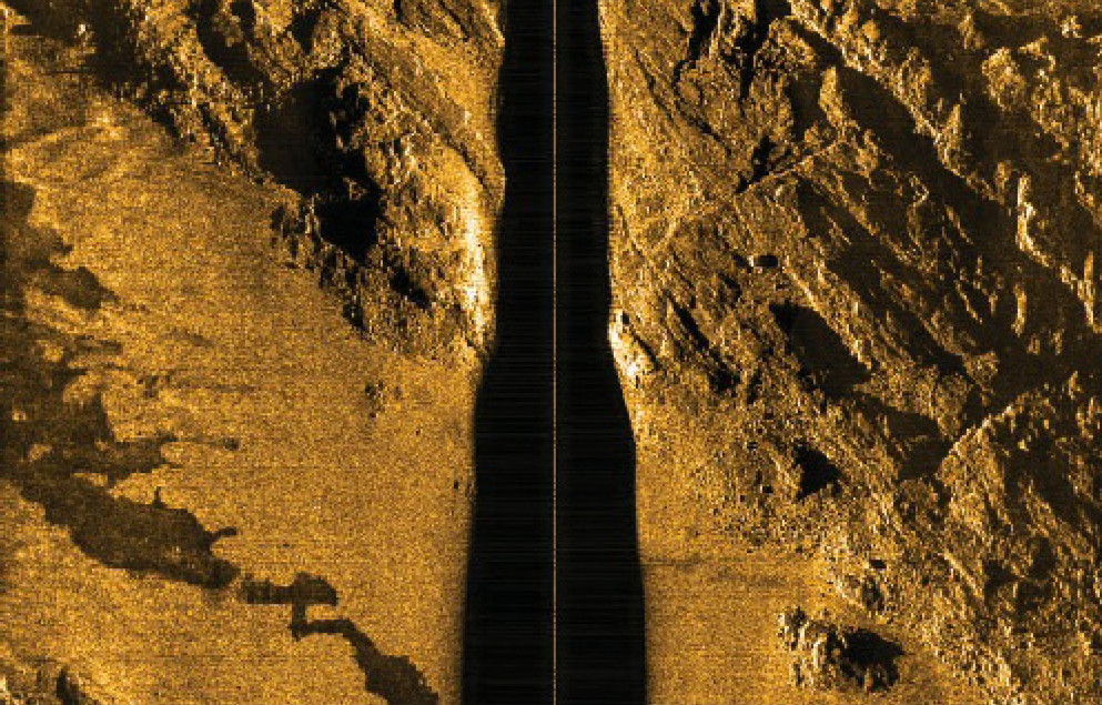
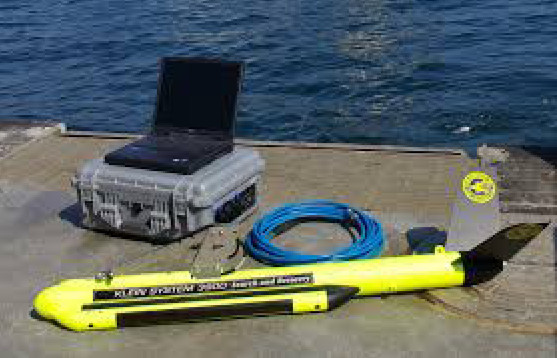
SIDE SCAN SONAR (SSS)

This instrument is towed at the rear of the boat and need a winch. It has to be 10m above the
seafloor. It can be used while doing bathymetry.
This method (the towfish) induces error in the position of the SSS, but you obtain an image of
the reality of the seafloor.
In practice, you do parallel profiles with the boat spaced of several meters (50-100m) to
assure a covering of the edge of the profiles.
After data processing, you obtain a mosaic of images of the seafloor.
Reflectivity
The reflectivity of the seafloor provide informations of the nature the seafloor (hard or soft,
smooth or rough) combined with sampling, you can draw a chart of type of sediment that
cover the seafloor. The equipment used is a side scan sonar. The SSS offers a view black and white of the
seafloor, like a photography, where you can distinguish the shadows of the objects, which is
useful when you need to map any contact point or obstacle for your project.
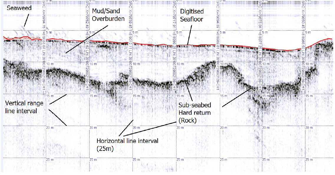
Sediment Thickness / Subottom Profiler (SBP)
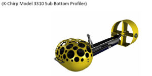
When you need informations on the sediment thickness in order to bury cable or for dredging,
Subottom profiler is used. It can be fixed to the boat or used like a towfish (need a winch), it
measures the sediment thickness at the vertical of the instrument. It is speacilallly used in
order to detect the transition between bedrock and sediment cover until several meters (up to
50m).